
Verified Birmingham ZIP Coverage
The most reliable Birmingham ZIP code directory begins with postal facilities and clearly labels what those facts do not prove. The entries below are verified associations from official facility data. They are not a complete city-boundary overlay, and a named post office does not mean that every delivery point falls inside Birmingham. The core entries identify well-known parts of the city. The mismatch entries show why a Birmingham postal name cannot settle jurisdiction.
| ZIP | Area served | USPS facility | Geographic caution |
|---|---|---|---|
| 35203 | Downtown | Birmingham Main | Core city |
| 35205 | Southside and Highland | South Highland | Core area still needs parcel checks at edges |
| 35206 | East Birmingham | East Lake Roebuck | East city postal area |
| 35207 | North Birmingham | North Birmingham | North city postal area |
| 35208 | West Birmingham | Fairview | West city postal area |
| 35209 | Green Springs and Homewood | Green Springs | Crosses Birmingham and Homewood geography |
| 35210 | East metro | Irondale | Birmingham mailing name may be outside the city |
| 35211 | Southwest Birmingham | West End | City area |
| 35212 | East Birmingham | Woodlawn | City area |
| 35213 | Crestline area | Crestline Heights | Birmingham and Mountain Brook complexity |
| 35214 | Northwest metro | Forestdale | Municipal mismatch |
| 35215 | Northeast area | Center Point | City and Center Point mismatch |
| 35216 | South metro | Vestavia Hills | Often postal Birmingham, outside city |
| 35217 | Northeast Birmingham area | Tarrant | Birmingham and Tarrant mismatch |
| 35218 | West Birmingham | Ensley | City area |
| 35223 | Mountain Brook | Mountain Brook | Postal Birmingham, separate municipality |
| 35228 | West metro | Midfield | City and Midfield mismatch |
| 35242 | Southeast metro | Meadowbrook | Largely outside Birmingham |
| 35243 | Cahaba Heights | Cahaba Heights | Vestavia area outside Birmingham |
| 35244 | Riverchase and Hoover | Galleria | Hoover, outside Birmingham |
| 35260 | Bluff Park | Bluff Park | Hoover and Bluff Park |
This set is intentionally incomplete. Common city-intersecting ZIPs 35204, 35222, 35224, 35233, 35234, and 35235 still require address-level USPS and GIS testing before inclusion in an exhaustive municipal list. No authoritative classification of local PO-box-only or unique institutional codes was captured. They should never be mixed into a residential parcel search without verification.
Verify Birmingham Postal Geography
Start with a deliverable address, not a city-name list. The official USPS ZIP Code Lookup returns a standardized mailing address and its postal code. Record that result exactly, including directional words and street suffixes. A city search alone can return several codes associated with Birmingham without showing which municipality governs a specific parcel.
The official USPS interface used for that first check appears below.
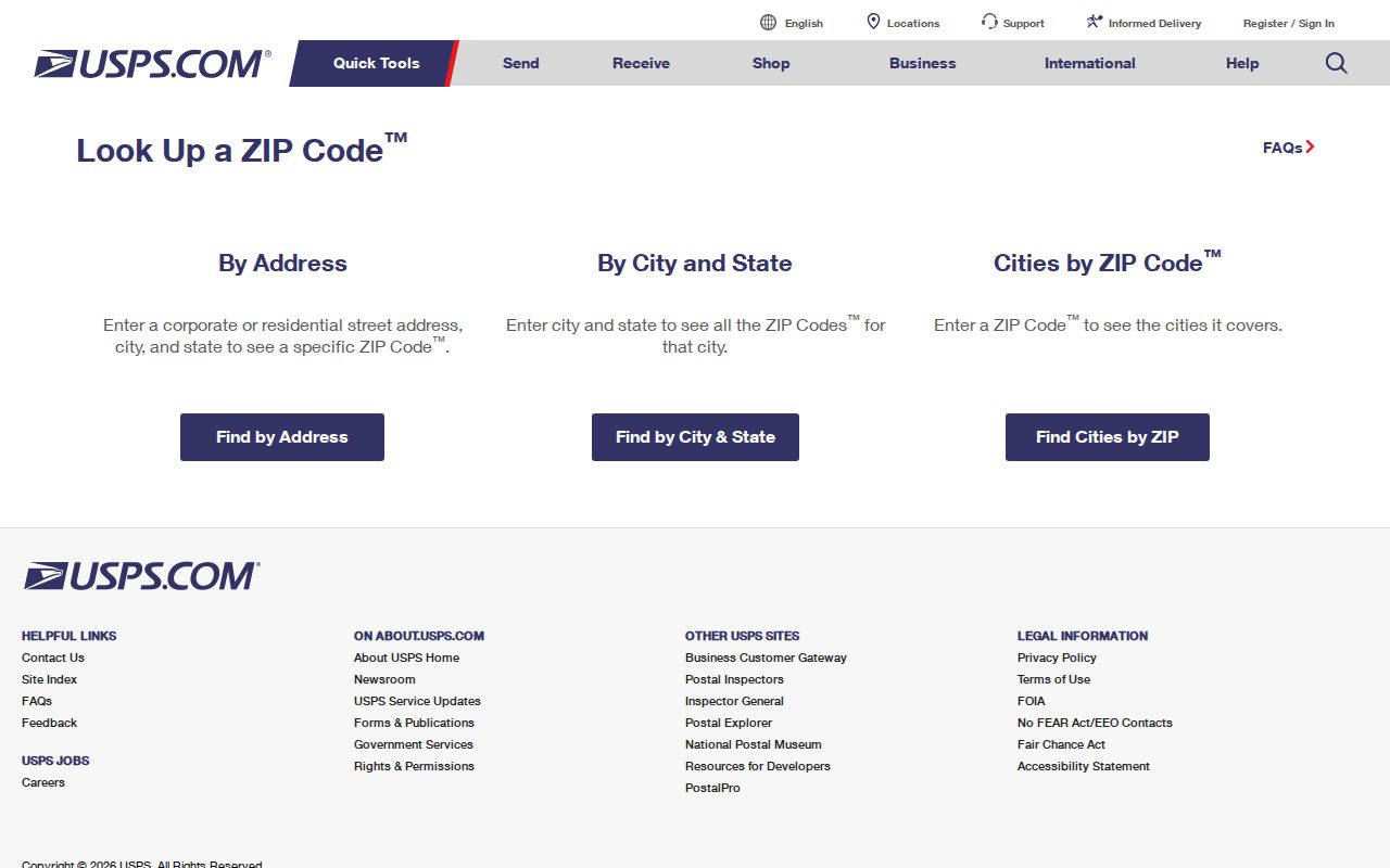
The form is a postal validation step. It does not identify the city clerk, permit office, court, police jurisdiction, or neighborhood that applies to the address.
- Enter the full street address in the USPS tool and save the standardized result.
- Search the same address in Birmingham GISWeb or Jefferson County GIS.
- Compare property ZIP, municipality, neighborhood, and parcel fields.
- Send a record request to the office tied to the verified jurisdiction.
Jefferson County Addressing can issue a certified address or change verification letter for covered unincorporated areas and participating municipalities. The service costs $15, and staff can be reached at 205-325-5174 on weekdays from 7:30 a.m. to 4:30 p.m.
Birmingham ZIP Versus City Limits
A preferred postal city is a delivery label, not a legal boundary. Homewood, Irondale, Forestdale, Center Point, Vestavia Hills, Tarrant, Mountain Brook, Midfield, Meadowbrook, Cahaba Heights, Hoover, and Bluff Park all appear within Birmingham postal geography. An address may therefore say Birmingham while its municipal records belong elsewhere. That distinction changes the correct code office, municipal court, police agency, and public-record custodian.
Boundary check. Never assign municipal jurisdiction from the ZIP alone. Match the USPS result to the municipality field in an official parcel map.
ZIPs also cross school, council, precinct, police, fire, and neighborhood lines. A postal code does not imply any one of those districts. GIS displays several district attributes, but each must be read as its own layer. The Birmingham ZIP code directory is strongest when it narrows a search area, then yields to an address-specific government map.
Birmingham's 99 Neighborhood Layer
Birmingham uses a finer civic system than ZIP geography: 23 communities contain 99 recognized neighborhoods. East Lake includes Brown Springs, East Lake, Gate City, North East Lake, Wahouma, and Zion City. Ensley includes Dolomite, Ensley, Oak Ridge, Sherman Heights, Tuxedo, and Wylam. The Red Mountain community includes Forest Park-South Avondale, Highland Park, and Redmont Park. None of those groupings is defined by a postal code.
The city's official community and neighborhood inventory shows the civic framework used for association contacts and local meetings.
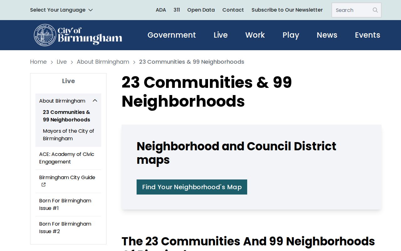
This inventory helps translate a postal result into a community name, but the parcel map remains the better source for the exact location.
Birmingham also has nine planning areas. They include Pratt-Ensley, Western, Southwest, Titusville, North Birmingham, Northside/Southside, Southern, Eastern, and Northeast. Planning areas, communities, neighborhoods, subdivisions, and ZIPs may overlap in different ways. Keeping each label in its own column prevents a postal assumption from becoming a false civic claim.
Note: Birmingham's count of 23 communities and 99 neighborhoods describes civic organization, not the number of postal zones serving city addresses.
Map Birmingham ZIP Context
The Birmingham GIS map gallery supplies citywide and individual-neighborhood maps that place postal clues beside civic geography. The county parcel layer adds ownership, addressing, municipality, zoning, flood, subdivision, and district context. Search by an address or 18-digit parcel in Birmingham GISWeb, choose the best result, and zoom to the parcel before reading adjacent shapes.
The map gallery provides the visual entry shown here.
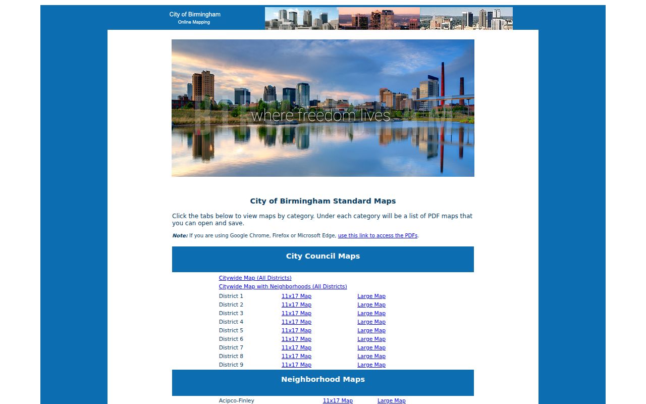
These maps help test whether the postal label and Birmingham city line agree. They do not create a household list.
Rail lines, angled streets, and later freeway construction produced blocks that do not always fit simple postal assumptions. Crestline borders Mountain Brook and Irondale, which makes the difference especially clear. For a full named-street chain after the correct parcel is found, use the Birmingham street directory.
Query Birmingham Parcel ZIP Fields
Jefferson County's parcel layer has two distinct ZIP fields. The property ZIP belongs to the situs, which means the parcel location. The owner-mail ZIP belongs to the address where the tax owner receives correspondence. An owner may live elsewhere, use a business address, or route mail out of state. A filter on the mailing field cannot stand in for a list of properties or residents within a Birmingham ZIP.
| Field | What it means | Safe use |
|---|---|---|
| Property ZIP | Postal code attached to the parcel's situs address | Group parcels by location, then pair with municipality |
| Owner-mail ZIP | Postal code for tax correspondence | Study mailing destinations, not local occupancy |
| Property city | City label in the property address | Compare with official municipality fields |
| Municipality | Government jurisdiction assigned in GIS | Choose the correct local custodian |
| Parcel and legal description | Stable land identifiers | Resolve similar street names and boundary edges |
CAPture can search by property address, mailing address, owner, or parcel. Its public instructions do not document ZIP as a direct input. The county GIS layer can query and export ZIP attributes, up to its published service limit, but the result is still a parcel worksheet rather than a resident roll.
Find Birmingham Residents by ZIP
A ZIP code directory narrows geography. It does not prove who occupies each address. Once the parcel set is clear, compare the tax owner and situs address, then consult only those official sources that answer the next question. Property ownership is public through CAPture and GIS. Recorded deeds are indexed through Jefferson County Probate Court's LANDMARK. The voter self-tool confirms an individual's own registration and polling information, not the names living around a postal zone.
- Verify one known address and its ZIP through USPS.
- Use property ZIP plus municipality in GIS to define the parcel area.
- Open individual parcel cards to distinguish owners from situs addresses.
- Check deed parties in LANDMARK when ownership history matters.
- Use lawful voter-list ordering only when the released fields fit the purpose.
The Alabama Secretary of State voter-list route provides electronic ASCII or Excel files at $0.01 per voter record, with no minimum and no added per-field charge reported in the research. Printed output costs $1 per page. The official voter-list request form is separate from VoterView. Protected addresses are absent or redacted, Alabama does not register voters by party, and participation history never shows ballot choices.
Birmingham Postal Terms Decoded
Postal language describes delivery operations. Parcel and civic language describes land and government. Mixing those systems creates false matches, especially at Birmingham's municipal edges.
- ZIP code
- A five-digit postal delivery area. It is not a municipal boundary.
- ZIP+4
- A more precise delivery segment appended to the five-digit code. It still does not identify an occupant.
- PO-box ZIP
- A code used for post-office boxes rather than ordinary residential parcel delivery.
- Unique ZIP
- A postal code assigned to a high-volume organization or institution, not a general residential zone.
- Carrier route
- A delivery path used by a postal carrier. Routes may cut across other civic boundaries.
- Situs address
- The physical location assigned to a parcel, distinct from the owner's mailing address.
Older Birmingham records add one more limit. Modern ZIPs cannot be projected backward into nineteenth-century city directories. Historical volumes and Sanborn maps use streets and communities. Convert an old address through the Birmingham Public Library street concordance, locate today's parcel, and only then attach a current postal code.
Keep Birmingham ZIP Claims Honest
An exhaustive Birmingham ZIP code directory would require representative live-address tests, a city-limit polygon check, and an official source record for every inclusion. That work remains outstanding for several codes known to intersect the city, as well as PO-box and unique codes. The verified facility table is useful, but facility names do not draw delivery boundaries. No residential claim should be inferred from a post-office label alone.
Use an offline route when web tools leave doubt. Jefferson County Addressing handles covered jurisdictions and certified address letters. Birmingham city addressing services sit with CAD911, though the exact public assignment procedure was not captured. The county GIS office provides parcel and municipal layers, while the Board of Registrars is the custodian for voter records. Specific municipal records may be requested from the Birmingham City Clerk by mail or hand delivery under the Alabama Public Records Law, with Alabama residency proof.
The correct Probate search can also depend on the Birmingham or Bessemer division shown by the parcel and record. The divisions have different online start dates and older book series, so a postal label should never select the deed path by itself.
The safest result is often qualified: a verified postal code, a separately verified municipality, and a named civic neighborhood. That is more accurate than a neat but unsupported claim that one ZIP equals one Birmingham community.