
Walk a Birmingham Street
A Birmingham street search works best as a chain. No official file is a complete list of everyone at each door. Jefferson County property records establish the current parcel and tax owner. The map supplies the stable parcel number, legal description, subdivision, and nearby tracts. Recorded instruments then show transfers involving that parcel. Historical directories and census records may add occupants for a dated point in the past.
Keep a worksheet with separate columns for situs, owner mailing address, documented owner, documented occupant, source, and date. “Situs” means the physical location of the parcel. Mailing data only shows where tax correspondence goes. That split prevents a Birmingham street directory search from turning an owner or business entity into an unsupported resident claim.
- Enter the street number and name in the Jefferson County Citizen Access Portal, called CAPture. Save the owner, property address, mailing address, and parcel.
- Open Birmingham GISWeb or Jefferson County Enterprise GIS. Confirm the parcel shape, municipality, legal description, plat reference, and adjoining parcels.
- Use the owner and legal description in Probate Court's LANDMARK index. Match the acquisition deed, then follow the grantor backward.
- Use Alabama voter material only through a lawful channel. VoterView is a self-confirmation tool, not a public street browser.
- For a dated occupant, consult a Birmingham directory volume that actually includes an address or reverse section. Pair it with census or newspaper evidence.
Search Birmingham Addresses in CAPture
The Jefferson County CAPture property gateway offers four distinct routes. Property Address is the right mode for a known Birmingham location. Owner mode helps when the name is known but the address is not. Parcel mode is the strongest bridge to maps and deeds because it avoids street spelling changes. Mailing Address is a separate search and should never be confused with the parcel's physical site.
| CAPture field | Input | When to use it | Format note |
|---|---|---|---|
| Property Address | Text | Known site on a Birmingham street | Street number, then street name |
| Mailing Address | Text | Tax correspondence search | Separate from property address |
| Owner | Text | Find parcels tied to a known owner | Last name, then first name |
| Parcel | Text | Retrieve one exact tax parcel | Remove spaces and periods |
| Magnifying glass | Button | Run the selected query | One search mode supplies the input |
CAPture is free online, and the Jefferson County Tax Assessor also provides counter access. The county’s official CAPture instructions document the parcel and value workflow. Homestead or exemption data may support research, but it cannot establish every person present. Search results should be treated as a current tax record whose facts may lag a newly recorded deed.
Note: A remote mailing address is a clue about correspondence, not proof that a Birmingham parcel is occupied or vacant.
Map Birmingham Streets and Parcels
Birmingham GISWeb accepts an address or an 18-digit parcel in its upper-right search. Choose the best result, usually a parcel, then open its header to zoom. The viewer supports property information, basic queries, measurement, coordinates, address labels, spreadsheet export, and an 11-by-17 print layout. Pan and click the next parcel to move along the same side of a street. Search the opposite side separately because road geometry can interrupt a visual sequence.
The Birmingham GISWeb parcel viewer supplies the city parcel interface. Its address search and mapped results support the Birmingham street directory method.
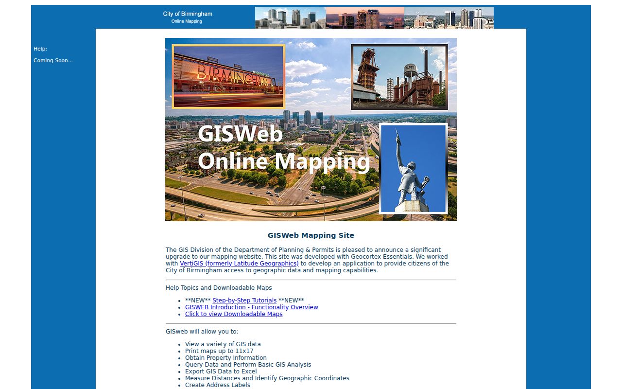
Use the result as a research map, then confirm important facts with the Assessor or recorded instrument. The county parcel layer is refreshed nightly from addressing, Assessor boundary, and ownership systems, so it is current but not proof of a transfer recorded the same day.
Verify Birmingham Streets in County GIS
The Jefferson County Enterprise GIS gateway adds municipality, zoning, and flood context. Its Birmingham street and parcel tools are visible in this official capture.
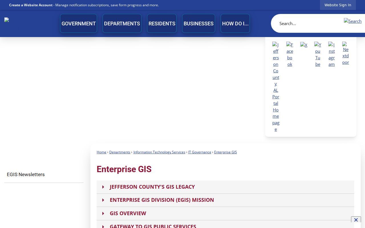
County GIS matters when a postal line says Birmingham but the parcel lies in another municipality or an unincorporated area. The correct municipality determines which clerk, court, permit office, and code unit holds an address record.
Birmingham Records Keyed by Street
Each address source answers a narrow question. A strong street directory keeps those answers distinct, then connects them through the parcel, name, legal description, and date. Jefferson County's Birmingham and Bessemer divisions also matter. The right division changes the courthouse, online cutoff, and older books.
| Address record | Official keeper | Useful street fact | Access route |
|---|---|---|---|
| Property roll | Jefferson County Tax Assessor | Owner, situs, mailing address, parcel, values | CAPture online or counter |
| Parcel geography | County and Birmingham GIS | Boundaries, legal and plat data, municipality, adjacent parcels | Free viewers, query, and export |
| Recorded deeds | Jefferson County Probate Court | Named parties, instruments, dates, legal property | LANDMARK, Record Room, or mail |
| Voter material | Board of Registrars and Alabama SOS | Address rows only in a lawfully supplied list | Self-lookup or formal list order |
| Permit and code files | Birmingham PEP and City Clerk | Application or address case facts when held | Account portal or focused records request |
| Historic directories | Birmingham Public Library | Dated name and address entries where the volume supports them | Southern History room or focused request |
The chain is stronger than any single row. A parcel number links the tax card to GIS. A legal description links the mapped parcel to older deeds. A dated address links the property trail to a directory or census entry. Conflicts should remain visible until another official source resolves them.
Read Birmingham Street Record Terms
Parcel records use compact terms because they were built for land administration, not a household list. Define them before copying fields into a Birmingham street directory worksheet. The street name may change, while a recorded plat and legal description can keep the land identity stable.
- Parcel
- A tax and mapping unit identified by a parcel number. It may contain a building, vacant land, or more than one address.
- Situs address
- The physical address assigned to the parcel, distinct from the owner's correspondence address.
- Plat
- A recorded map of lots, blocks, streets, and subdivisions, commonly cited by plat book and page.
- Legal description
- The formal land identity used in deeds, such as lot, block, subdivision, or metes and bounds.
- Criss-cross directory
- An address-first or street-first section that reverses the usual alphabetical name order, when a particular volume provides one.
Do not invent a decoder for Jefferson County's parcel number. The research confirms that a displayed number with punctuation is entered without spaces or periods, but the official material reviewed does not explain every digit.
Follow Birmingham Deeds by Street
The Jefferson County LANDMARK index searches by name, document, book and page, consideration, recording date range, instrument number, legal description, or Quick Search. Start with the owner found in CAPture, then compare the deed's legal description with GIS. Search the deed's grantor as an earlier grantee to move backward. A grantor transfers an interest; a grantee receives it.
Online coverage differs by division. Birmingham index entries begin in 1987, while images begin in 1993. The Bessemer division offers both index and images from 1965. Older Birmingham books and maps reach into the 1800s at the courthouse, and Bessemer holdings reach from 1915. The free view supplies data and a watermarked first image page. Registered image access costs $2 per page; subscribers pay $125 monthly plus $1 per page.
When the web cutoff stops the trail, use the Probate Record Room. Staff cannot conduct a title or lien search or prepare a deed. A focused mail request should give the buyer, seller if known, sale date, party address, and property address. Copies cost $1 per page, plats cost $15 per page, and certification adds $2 per document. In-person access and free onsite subscriber training are also documented.
Note: The LANDMARK index is a courtesy search aid; rely on the recorded instrument for the official street and parcel facts.
Bridge Birmingham's Renamed Streets
Birmingham Public Library's old-to-new and new-to-old street concordances were transcribed from the 1932 city directory and compared with a 1911 map. That comparison was difficult because annexed communities reused names and numbers. Community identity is therefore part of the address, not mere background.
The Birmingham street-name concordance records examples that can unlock an old search. First Avenue North was Cotton Avenue in Elyton. First Avenue South can point to Hillman, Morse, Woodlawn Avenue, or Avenue A, depending on the community. First Avenue West was Florence Avenue in West End, while Second Avenue North had Parker or Pauline identities in Woodlawn. Sand Ridge was formerly Oxmoor.
No authoritative wholesale renumbering year was found, so none should be assigned. Test the old and new form in the relevant directory, map, and deed. A $15 certified address or change-verification letter is available from Jefferson County Addressing for unincorporated areas and participating municipalities. The office takes calls at 205-325-5174 on weekdays from 7:30 a.m. to 4:30 p.m.
Check Birmingham Address Cases
The city's Online Permit Center supports account-based applications, tracked fees, and documents. Its public material does not verify a complete anonymous historical archive. Use the portal for the functions it states, then submit a focused City Clerk request for address-specific permit or code files that are not exposed online. Do not assume a complaint record will disclose the person who reported an issue.
The official permit entry comes from Birmingham's Permitting and Inspection Division. Its account workflow marks the point where address research branches into city-held project files.
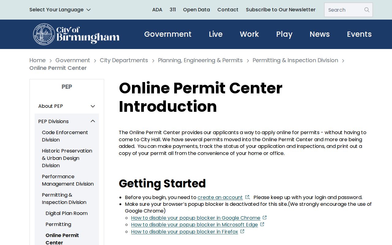
City public-record requests are mailed or hand delivered and require proof of Alabama residency under the current procedure. Make the request narrow: give the exact address, a date range, a record type, and the desired format. Address, applicant name, contractor, parcel, and project type are useful identifiers when already known.
Birmingham Streets Preserve Rail History
Birmingham was founded in 1871 at rail crossings, and that geometry still appears in angled streets and curved or trapezoidal blocks. Later, I-65 construction fragmented neighborhoods during the 1960s and 1970s. A straight line on today's map may not represent a continuous historic block, and an old address may belong to a community grid that was later annexed or cut by major infrastructure.
This local history changes the method. Pair an old directory citation with the street concordance, a Sanborn sheet when available, and a modern parcel map. For the full directory collection and its publication gaps, use the Birmingham city directory material rather than assuming every volume has a reverse section. The result is a date-specific location, not a forced match to the nearest modern number.
Limits of Birmingham Street Directory
A street directory cannot name every person connected with a Birmingham address. Property rolls identify owners, not a full household. Deeds document transactions, not daily presence. A directory is a dated publication that can omit a person because of timing, spelling, movement, or publisher scope. Utility and delivery customer lists are not public directory substitutes, and motor-vehicle personal information is generally closed by federal law.
VoterView confirms a voter's own registration, ballot status, polling location, and address. It does not browse nearby people. A lawfully ordered voter list is a different product, and qualifying protected addresses can be omitted. Alabama does not register voters by party, and participation history never reveals a ballot choice.
Lawful use. Use Birmingham address records for family history, parcel research, civic inquiry, or scam checks. Never use a name or address to stalk, harass, intimidate, or harm anyone.
Commercial directory products may merge names, lag official updates, or repeat an old mailing address. Treat that category only as an unverified lead. For a current owner, return to CAPture, GIS, and the deed. For a past occupant, record the publication year and seek a second dated source.