
Birmingham Neighbors Record Map
No source is a complete Birmingham neighbors list. Each record answers a narrower question about the immediate block. The parcel map outlines nearby lots. The tax roll identifies owners and correspondence addresses. Deeds document transfers. Civic pages identify public officers, while older directories may name past occupants by address. The access route matters as much as the data because some tools are free maps, some require individual searches, and some records must be requested.
| Source | What it can show on a block | Access route |
|---|---|---|
| Birmingham and Jefferson GIS | Adjacent parcels, owners, situs and mailing fields, legal and district context | Free map, click, query, and export |
| CAPture property roll | Current owner and parcel card for a known address | Free individual web search or assessor counter |
| LANDMARK deeds | Ownership transfers and recorded instruments | Free index, paid images, Probate counter or mail |
| Voter records | Address rows only in a lawfully ordered list when supplied | Paid list request; VoterView is self-service only |
| Neighborhood system | Public officers, contacts, meetings, and maps | Free city pages and direct contact |
| Historical directories | Past address and telephone entries when a volume includes them | Birmingham Public Library or Library of Congress |
Owner and occupant are not synonyms. A tax mailing address that matches the situs may support an owner-occupancy theory, but it does not prove who lives there. A different mailing address is a useful lead, not proof that the parcel is vacant or rented. Household members and renters are not systematically named on the property roll.
Map Birmingham Neighbors by Parcel
Begin with one exact address in Birmingham GISWeb. The viewer accepts an address or an 18-digit parcel in its upper-right search. Choose the best result, usually a parcel, then click the result header to zoom. Save the center parcel number and map scale before moving outward. That step matters because numbered streets and avenues repeat across annexed communities.
- Locate the center parcel and confirm its situs, municipality, neighborhood or subdivision, and legal description.
- Pan and click each touching parcel polygon. Record only the public fields needed for the block question.
- Open the matching CAPture parcel card to compare owner, mailing address, values, and exemption clues.
- Check a recent transfer in LANDMARK when the nightly parcel layer may lag a new deed.
- Move to the Birmingham street directory only when the task expands beyond the immediate block.
The county parcel service supports attribute and distance queries, pagination, and exports of up to 2,000 results. Birmingham GISWeb supports queries, basic analysis, measurement, coordinates, address labels, and spreadsheet export. A formal buffer control was not verified in the live interface, so an honest adjacent-parcel method uses visible polygons and measured distance rather than claiming an unconfirmed feature.
Read Birmingham Block Fields Carefully
The county layer combines addressing from Development Services, parcel boundaries from the Assessor, and ownership from the Board of Equalization. It refreshes nightly. That is timely enough for most block research, but it is not real-time proof of a deed filed the same day. Public attributes include owner names, situs and tax-mail addresses, parcel number, legal description, subdivision, plat book and page, acreage, values, building indicator, municipality, school, fire, and other districts.
- Parcel
- A mapped unit of land with a county identifier. It is not a household.
- Situs address
- The physical address of the parcel, distinct from the owner's mail destination.
- Legal description
- The lot, block, subdivision, or metes-and-bounds text used to identify land in recorded instruments.
- Plat
- A recorded map of lots, blocks, streets, and easements within a subdivision.
- Owner-mail address
- The correspondence point for a tax owner. It may be on the parcel or far away.
A useful worksheet keeps parcel ownership apart from documented occupancy. Deeds show transactions, not an annual resident roll. A seller may remain for a time, a buyer may be an entity, and a family member may live at the property without holding title. The same restraint applies to exemption and building flags.
Note: Preserve parcel numbers and legal descriptions when Birmingham street names repeat or a postal address falls near a municipal boundary.
Birmingham's 99 Civic Neighborhoods
Birmingham organizes 99 neighborhoods within 23 community groups. The umbrella community and neighborhood directory identifies groups such as Airport Hills, Crestwood, East Lake, Ensley, North Birmingham, Pratt, Red Mountain, Smithfield, Southside, Titusville, West End, and Woodlawn. Property owners and renters can join through the Community Resource Services Division, which can be reached at 205-297-8192.
Neighborhood Officers
Public leadership contacts and meeting information
Verify the current schedule
No city member roster located
Public officer sheets are leadership resources, not Birmingham neighbors directories. Meeting dates and assignments change, so confirm them with the city. Do not copy public sign-in sheets into a permanent roster. The official count is useful because neighborhood, community, planning area, subdivision, and ZIP are different geographic layers.
Block shape also carries Birmingham history. Rail lines left angled streets and trapezoidal or curved parcels, while I-65 split older neighborhood patterns during the 1960s and 1970s. A modern adjacent parcel may not match the way a block appeared in an old directory. Pair current GIS with the period map when tracing that change.
Birmingham Neighbors and Voter Data
Alabama VoterView can confirm a voter's own registration status, ballot status, polling place, and address. It also offers a polling-place search by full street address. It cannot browse nearby residents. The Jefferson County Board of Registrars keeps the county list, while the Alabama Secretary of State offers a separate list-order process under Ala. Code § 17-4-38.
A lawfully obtained electronic list may cost $0.01 per voter record in ASCII or Excel form. Printed output is $1 per page. If the released file includes address fields, it can be sorted by block, but protected rows may be omitted or redacted. Domestic-violence affirmations and protections for certain public officials can shield residence and mailing addresses. Alabama does not register voters by party, and participation history never reveals a ballot choice.
Voter geography follows precincts and districts, not parcel adjacency. Keep it separate from the map. Address changes require a new registration application, and the registration deadline closes before an election. A missing or old row does not prove that someone moved, is unregistered, or is absent from the block.
Birmingham Address Issues and Requests
Some block questions concern the property rather than the people nearby. Birmingham Code Enforcement accepts 311 address complaints, assigns an inspector, and routes alleged violations to a magistrate. Zoning and condemnation contacts serve different subjects. Complaint status is not a verified public case index, and public access should not be described as an open list of complainants.
The Birmingham Code Enforcement source shows the division's inspection and contact route.
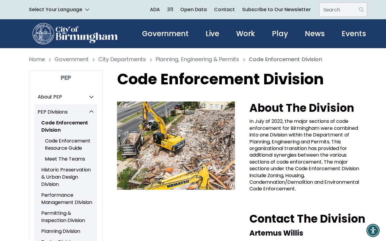
The source is useful for routing an address concern. It is not a neighbor identity search.
For a specific existing municipal record that lacks an online index, use the Birmingham City Clerk request form. Alabama residents may mail or hand-deliver the signed form with accepted residency proof. The city lists a 10-day acknowledgement framework and a substantive response within 15 business days after acknowledgement, subject to extensions and the longer time-intensive process. A narrow request should name the address, record type, date range, and desired format.
Birmingham Safety Record Limits
Court, jail, and offender sources answer specific justice-system questions. They do not identify all people living near an address, and they should never be merged into a Birmingham neighbors roster. Birmingham Municipal Court handles city ordinances, misdemeanors, and traffic matters within city or police jurisdiction. No public party-name municipal docket was verified. Records must be requested through court customer service or the city process.
The Birmingham Municipal Court page is the official contact and jurisdiction source.
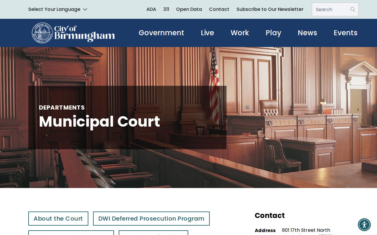
A court record shows a case event and its status. It does not establish a current home, household, or risk posed by a person.
The Jefferson County Sheriff Inmate Inquiry searches current or local booking data by name, subject number, booking number, custody status, date range, and facility.
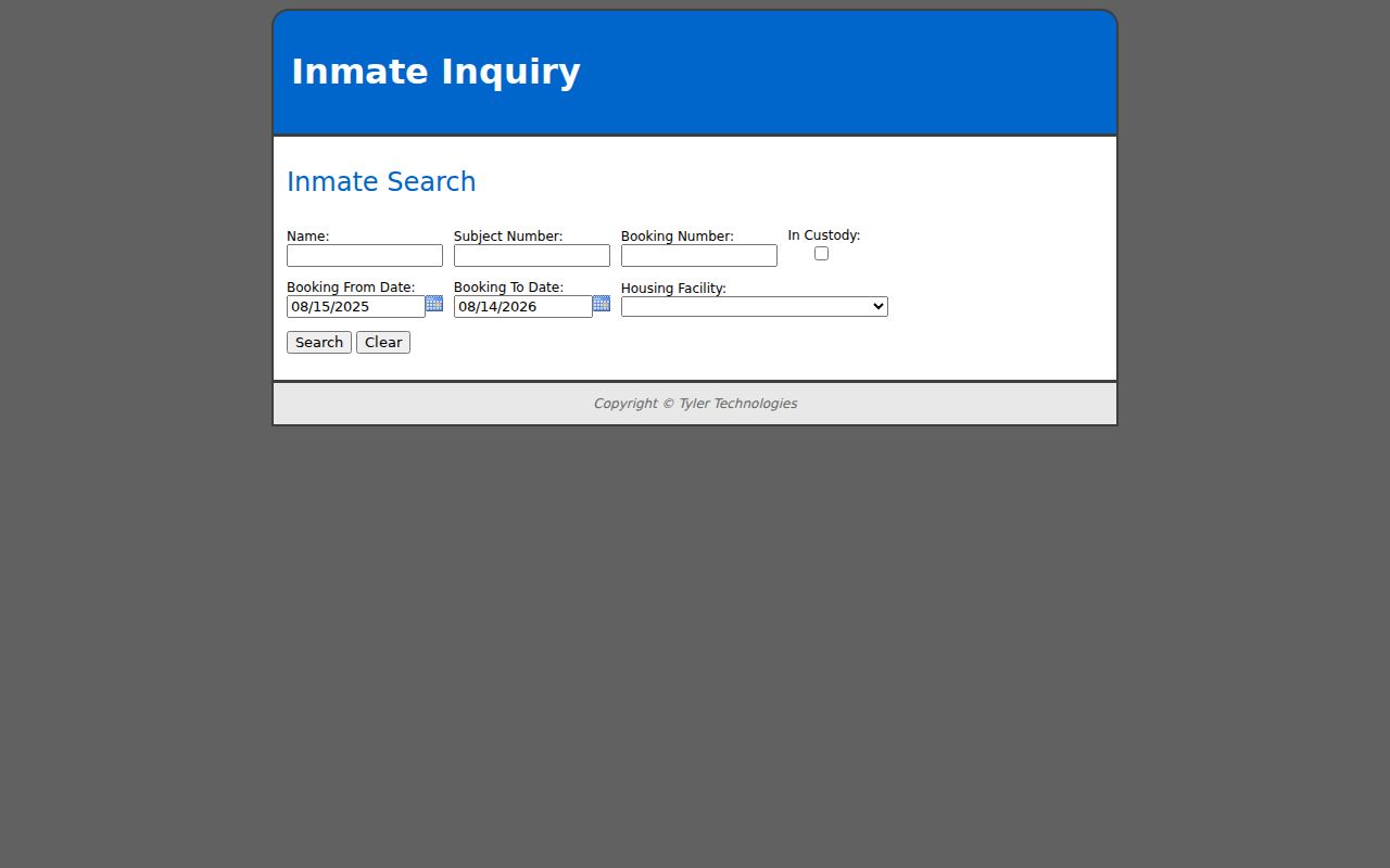
Booking data describes custody, not a stable neighborhood residence. A booking is also not the same as a conviction.
The ALEA Community Information Center supplies the state's official offender-registry route and its use warning.
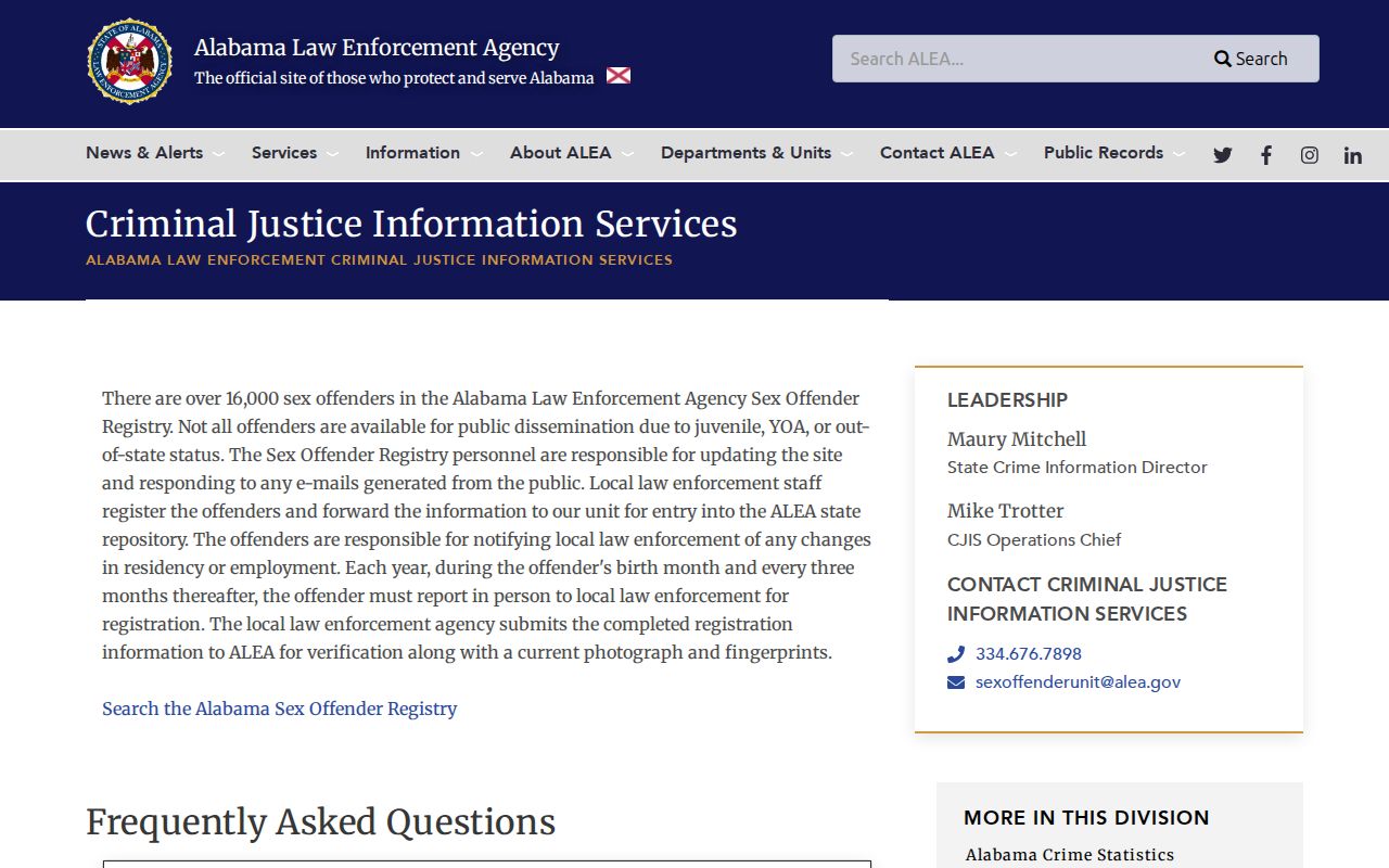
Registry data has statutory exclusions and depends on required reporting. Inclusion is not an individualized finding of danger. Alabama law forbids using registry information to injure, harass, or commit a crime against a registrant or anyone at the listed address.
Official Birmingham Records Compared
Official sources usually have a known custodian, defined fields, and a correction route. Commercial neighbor tools blend public ownership, old directory entries, and marketing data. Their records may lag, merge people with the same name, or show an address after the person has left. They can offer leads, but they cannot overrule the public office that created a record.
| Source type | Strongest use | Main limit |
|---|---|---|
| GIS and assessor | Current parcel and tax owner context | Does not enumerate occupants |
| Probate deeds | Recorded ownership changes | Transaction history is not a household roll |
| Neighborhood office page | Public leaders and meeting contacts | No private member list found |
| Historical directory | Past address or phone entry | Coverage and reverse sections vary by year |
| Commercial compilation | Possible lead | Unknown refresh, mixed sources, same-name errors |
Corrections belong with the custodian. Parcel facts go to the Assessor, voter facts to the Board of Registrars, deed data to Probate Court, and municipal records to the relevant city office. Keep only the fields needed for the inquiry rather than publishing a raw bulk block export.
Privacy for Birmingham Neighbors
Utility and delivery customer lists are not public resident rolls. DMV addresses are protected by federal law. Recent vital certificates, sealed court matters, protected voter addresses, and private household details remain outside a proper neighbor lookup. Alabama has no general statewide substitute-address program identified in the research, but its domestic-violence voter affirmation can remove residence and mailing addresses from generally available voter lists.
A Birmingham parcel search can support ordinary civic curiosity, a respectful introduction, block history, or verification of the correct office for a property concern. It does not grant permission for repeated contact, surveillance, threats, or publication of a sensitive home address. Ala. Code § 13A-11-8 addresses harassment and harassing communications. Alabama's stalking and electronic-stalking laws also cover serious forms of unwanted surveillance and tracking.
Lawful use. Use block records for respectful personal and civic purposes. Never watch, threaten, track, expose, or harass Birmingham neighbors.
Accuracy requires restraint. Label an assessor result as a tax owner, a deed name as a recorded party, a voter result as the status the lawful source actually provides, and a neighborhood officer as a public civic contact. Do not turn any one of them into an unsupported claim about everyone who lives at an address.